
I find it amazing how you can start down a path and suddenly the plan veers off into a new direction with unintended consequences.
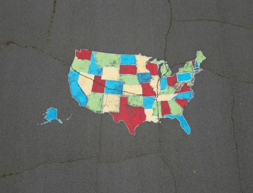
“Several years ago, AT&T embarked on a forward-looking study of the changing climate-related hazards facing our network footprint,” Lake wrote. “Working with researchers at the U.S. Department of Energy’s Argonne National Laboratory, models were built for projecting locations at risk of flooding, drought, and wildfires 30 years into the future. These maps now help identify areas to safely place cell towers and harden existing infrastructure for potential hazards.”
AT&T then collaborated with Argonne and FEMA to make those maps freely available via the Climate Risk and Resilience Portal.

No charge to visit!